
[LVMP]
Landscape Visualization and Modeling Lab
The Landscape Visualization and Modeling Lab arises from the search for synergies between the GIPC and GESYP, both research groups within the Polytechnic University of Madrid. Setting up this lab was one of the objectives of Red para la Investigación de los Paisajes Culturales de España, of the Plan Estatal de I+D in the period 2015-17.
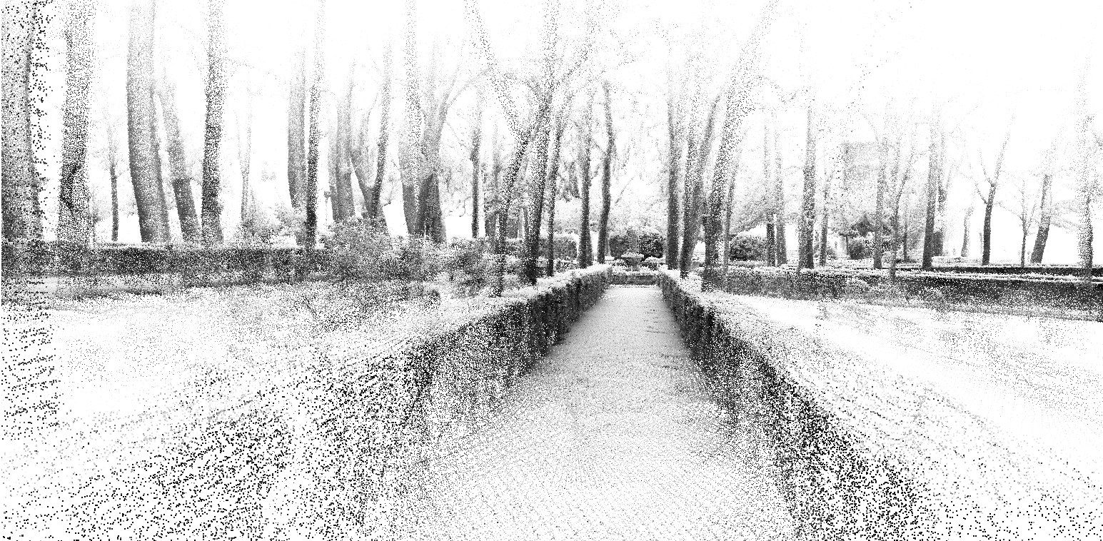
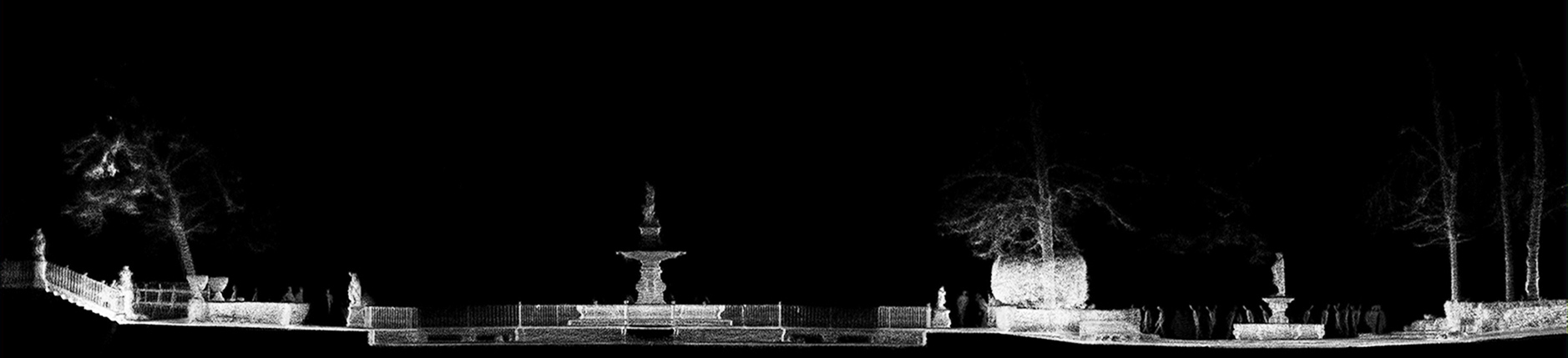
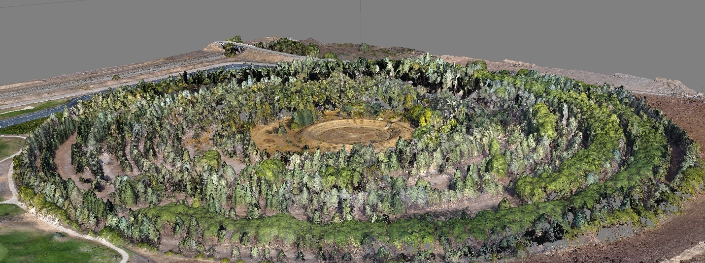
The LVMP uses geomatics technology to investigate new methods of representation, mapping, modeling and visualization of large-scale environments for heritage and landscape conservation. To this end, LVMP relies on advanced models that relate and synthesize georeferenced information in visualization processes.
In addition to research projects, LVMP provides high performance representation and topography services in a wide variety of scales of properties and landscapes. It also trains professionals in these new tools and their applications in the field of design and engineering.
LVMP-GESyP Research Assistant: Miguel Ángel Pérez Souza.
Infrastructure and equipment
— High precision GNSS geodetic observation receivers.
— Laser scanner equipment (TLS) for massive capture of geospatial data.
— Unmanned aerial vehicle(UAV).
— Optical, thermal and multispectral sensors.
— Ground penetration radar (GPR).
— Cloud GIS Computing.
— CNC and laser modeling.
— Rapid prototyping.


Close