Menu

Energy and land are inextricably linked in today’s society. It cannot be denied that energy has a major economic and social impact. However, it also has an effect on land, as the 5.93EJ of energy consumed in Spain during the course of 2012 had to be generated somewhere. Thermal power stations, mines, oil pipelines, power lines, refineries, ports, hydroelectric power stations and wind turbines pepper the landscape and now make up some of the most complex and important territorial systems we have.

The first phase of research starts with a study of the spatial distribution of energy production in Spain, in order to identify the areas with the highest concentration levels. The result is a map of the nation’s energy infrastructure which shows, for the first time, not just the major centres of consumption and transport networks, but also a range of areas where most of Spain’s power is generated and processed. It is a dynamic map (GIS) that depicts the progressive spread of energy infrastructures across Spain from the early 20th century to the present day. Its level of definition is able to describe the spatial structure of the identified areas.

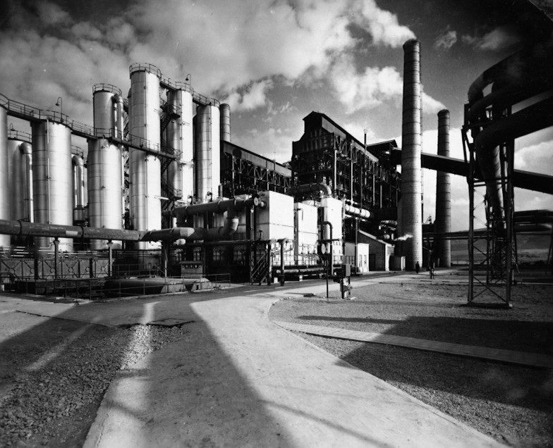
Once the areas have been identified, the second phase of research sets out to produce a comparative analysis of three energy landscapes: Puertollano (Ciudad Real), Aliaga (Teruel) and As Pontes (La Coruña). These three extraordinary landscapes have their origins in the energy policy implemented under the Spanish Autarky, but they have evolved in very different ways. The research identifies their past and present territorial dynamics, explores the different ways in which the public sees them and proposes criteria for facing the challenge regarding the area’s future. They serve as case studies to test out an alternative approach to recycling the landscape, based on memory.