Project Completed
Reference: Art. 83 LOU
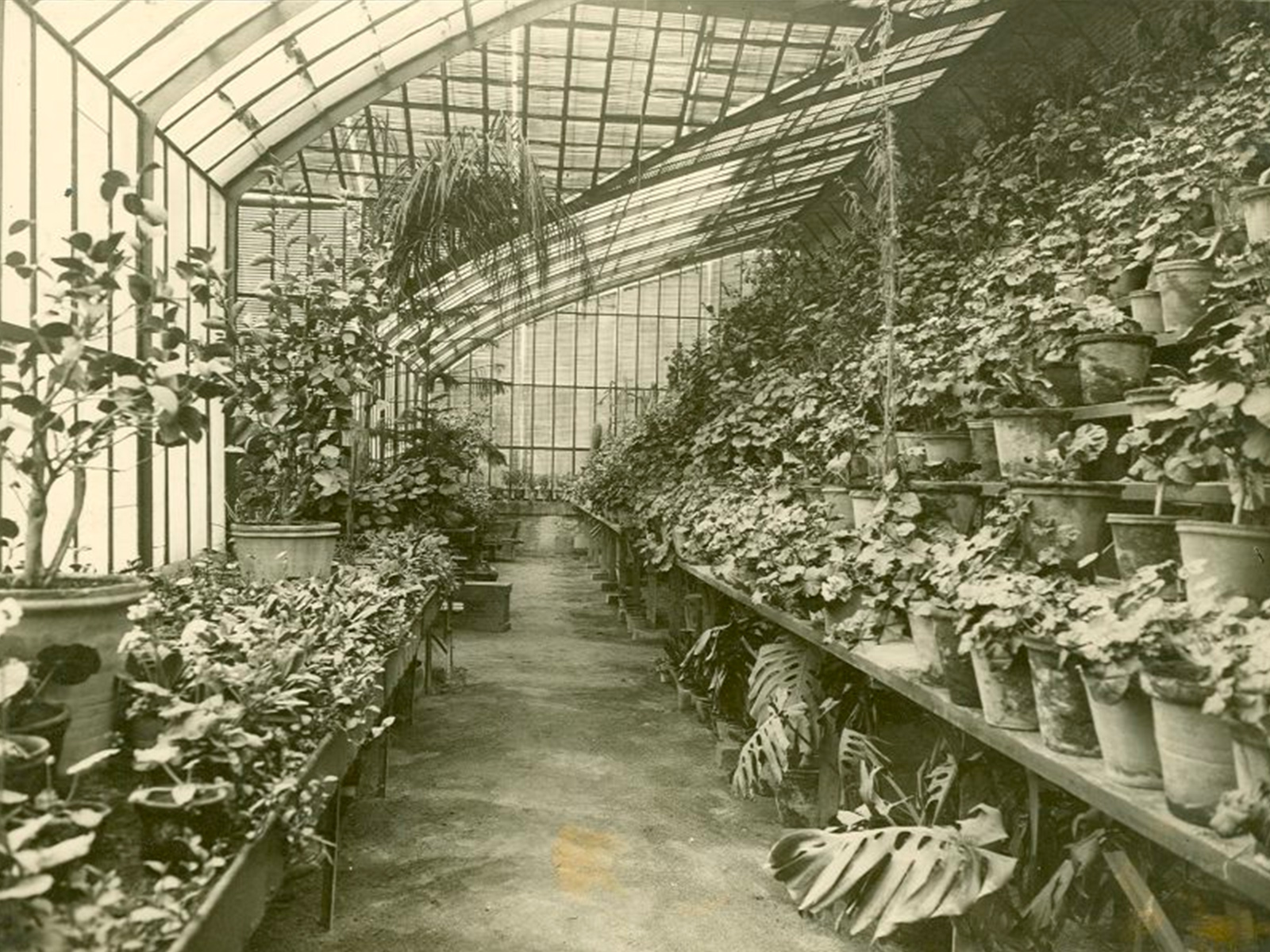
2011Heritage and Landscape of the Moncloa Agri-Food Corridor
Research contract
Campus Moncloa
Fundación Miguel Aguiló
Fundación Miguel Aguiló
Research contract